
Story 54 · Lake Como & Lugano
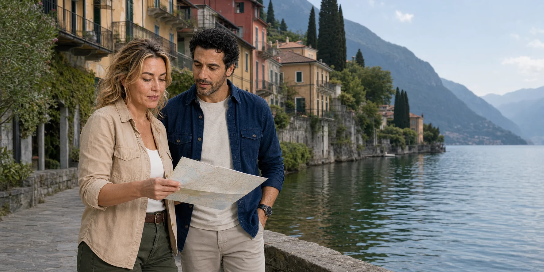
Destination desk · Lombardy, Ticino and the southern Alps
Read Lake Como from its working waterline, then compare two pre-Alpine basins through rail, border, language, art and practical access.
ExcursionPass original generated editorial interpretation · not documentary evidence of current conditions
A lake is not a blue gap between attractions
Lake Como divides around the Triangolo Lariano. Como occupies a terminal western branch; Bellagio marks the hinge; the Adda leaves through the Lecco side.
Public boats, railways, roads and small craft answer different transport questions. Nesso’s streams once powered production, while Varenna and Bellagio compress landing, stairs, work and gardens into steep edges.
The desk begins with one complete Italian waterline account. It keeps wider border and two-basin comparisons distinct instead of stacking them into an impossible day.
Two basins, two questions
Follow Lake Como’s working waterline in depth, or use the cross-border route to compare Como and Lugano without pretending that two nearby lakes are interchangeable.
Story 54 · Lake Como & Lugano
Story 51 · Lake Como & Lugano
What this desk follows
Use branch geometry, depth, Adda flow and local winds to turn a flat map into operating conditions.
Join Como’s industry, Nesso’s hydraulic history and the vertical morphology of Varenna and Bellagio.
Compare public ships, central ferries, rail links and small-boat loops by the job each performs.
Trace ports, gangways, onboard conditions, village gradients, monitoring and shoreline stewardship.
Check the institution closest to the fact
The feature contains the reporting. Navigation, access assistance and operating conditions should be rechecked with the responsible institution near travel.
Read the full field guide