Story 47 · Pacaya & Antigua
Destination desk · Southern Guatemala
A route from Antigua into an active protected landscape where geology, monitoring, park authority, community work and the decision to turn around belong to one story.
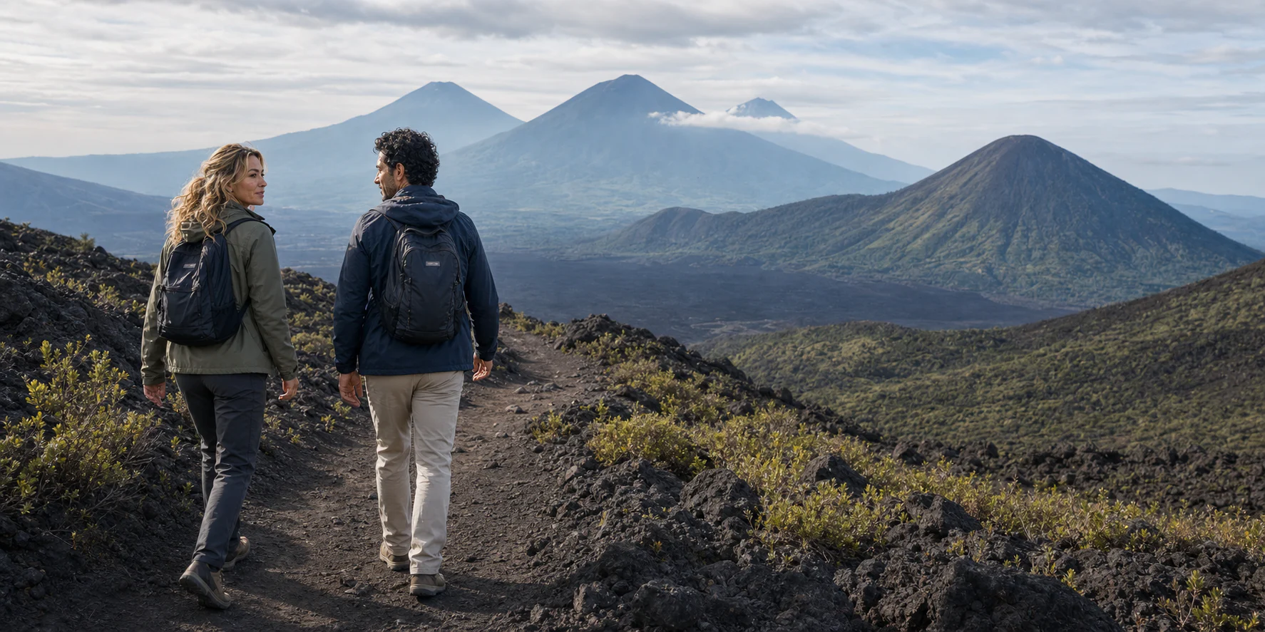
Pacaya editorial interpretation · ExcursionPass original generated visual
A living mountain is not a guaranteed spectacle
Pacaya is a volcanic complex, not one timeless cone. Older collapse, a younger active cone, flank vents, lava fields and later ecological recovery make the terrain legible only as a sequence.
The road from Antigua ends at a protected-area decision. Monitoring can describe activity without predicting every change, while the park administration and an authorized guide determine which entrance, trail and turnaround belong to the day.
Community livelihoods, uneven surfaces, gas, heat, weather and the complete return chain are part of the landscape. A responsible visit does not promise a particular warm vent, lava field or summit line; it explains what can be read when the route changes.
Volcanic system, route and responsibility
The feature follows Pacaya from regional tectonics and modern eruptions through monitoring, community work, ecology, route authority, hazard decisions and end-to-end access.
Story 47 · Pacaya & Antigua
What this desk follows
Separate the larger complex, older collapse, active cone, vents and lava fields instead of reducing Pacaya to a summit.
Read seismic, gas, deformation, thermal and visual observations without converting them into a guarantee.
Keep guiding, farming, evacuation, protected-area work and ecological succession in the same landscape.
Connect Antigua, vehicle, entrance, guide, trail, turnaround, lower alternative and return as one practical chain.
Check the institution closest to the fact
The story holds the explanation. Official monitoring, emergency and protected-area sources remain closest to the day’s activity, route authority and visitor rules.
Read the full field guide