
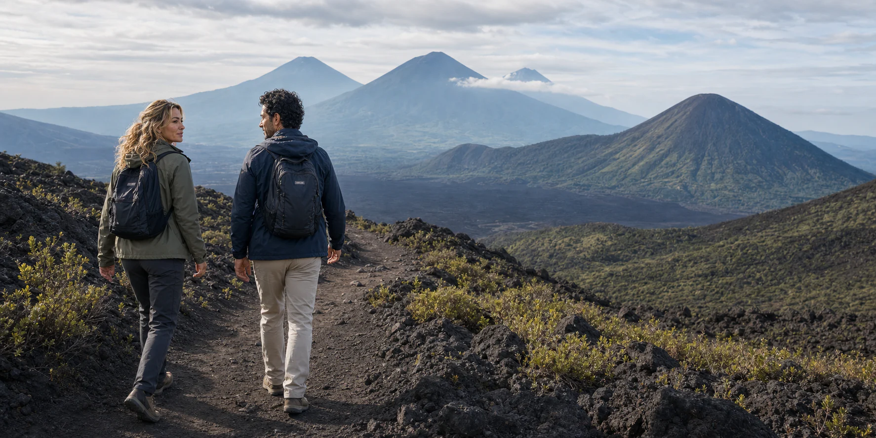
Story 47 · Pacaya & Antigua
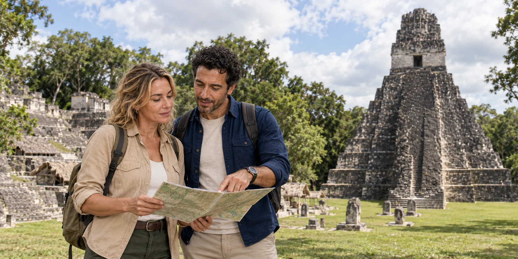
Country desk · Central America
Begin in Petén, where monumental Maya architecture belongs to a long urban history, engineered water, living communities and one of the region’s largest protected forests.
AI-generated illustration · ExcursionPass · Place reference: Bjørn Christian Tørrissen · CC BY-SA 3.0
A country cannot be reduced to one ruin
Guatemala contains many Maya languages, communities and historical landscapes; Tikal is one entry point, not a substitute for that plurality. The first desk therefore stays precise about Petén while building the habits needed for wider reporting.
At Tikal, dynastic monuments and temple crests make sense only beside households, causeways, reservoirs, quarries, managed forest and exchange. The city changed through political conflict, drought and social transformation; Maya history did not end when monumental construction slowed.
Today the same landscape joins archaeological conservation, biodiversity protection, tourism work and community rights. Practical access belongs inside that account because transport, heat, surfaces, permits and current openings shape what a visitor can responsibly see.
Destination desks
The Pacaya and Antigua desk connects a living volcano to monitoring, protected-area authority, community work and a changing route; Tikal and Petén connects an ancient city to rainwater engineering, forest succession and heritage practice.
Stories from Guatemala
Read a volcanic route through evidence and authority, then a Maya city through dynasties, water, forest, excavation and the real visitor chain.
Story 47 · Pacaya & Antigua
Story 42 · Tikal and Petén
Four working lenses
Read dynasties, conflict and transformation through inscriptions, buildings and archaeological debate.
Connect seasonal rain, reservoirs, cultivation, forest succession and modern conservation.
Keep Maya communities, languages, workers, guides and governance in the present tense.
Plan transport, surfaces, heat, current openings and limits as one responsible visitor chain.
