
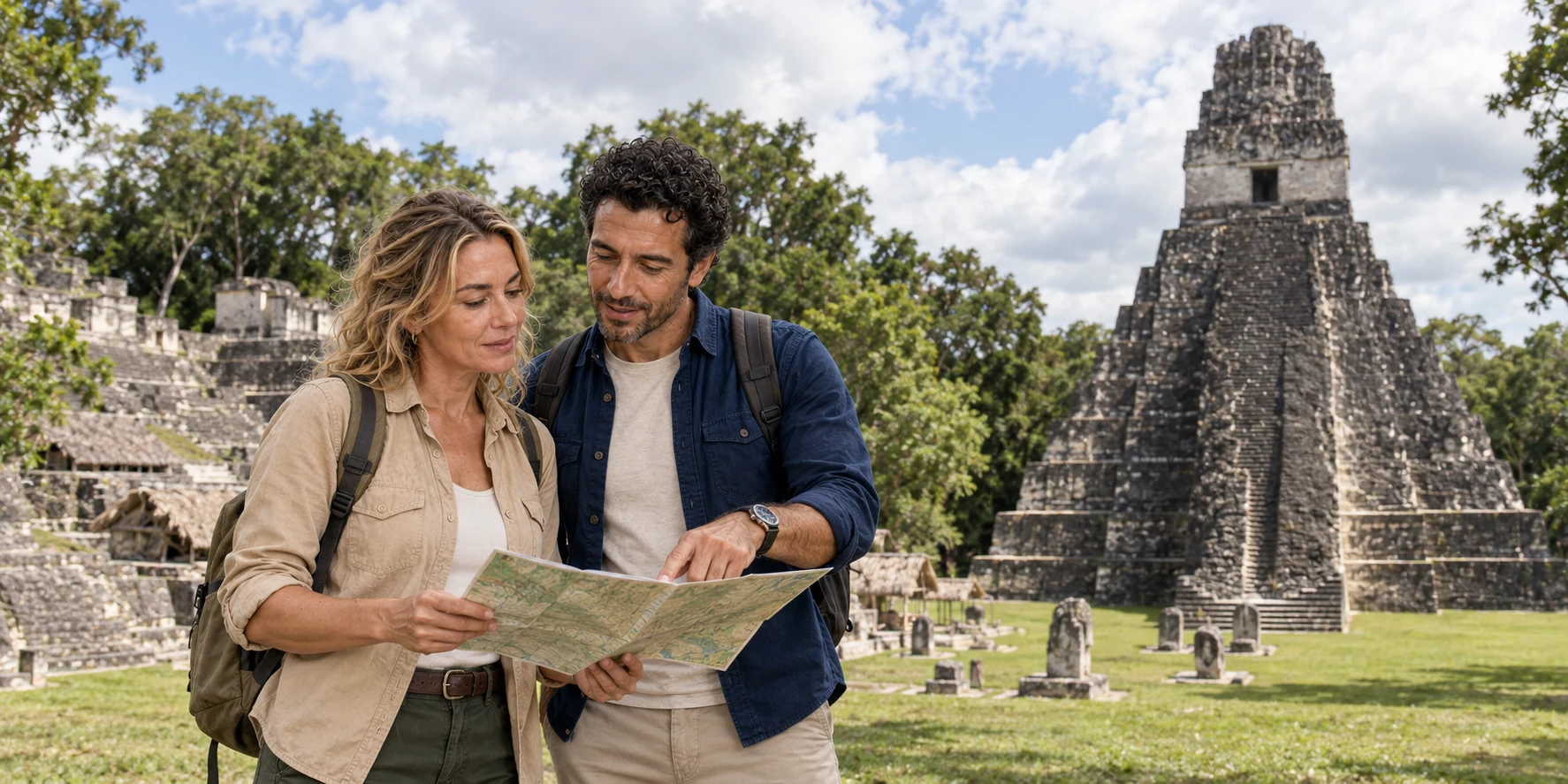
Story 42 · Tikal and Petén
Destination desk · Northern Guatemala
The road from Flores reaches far more than temple silhouettes: a Maya city built through water, labour and forest management, now protected through archaeology and conservation.
AI-generated illustration · ExcursionPass · Place reference: Bjørn Christian Tørrissen · CC BY-SA 3.0
From lake gateway to protected city
Flores and Santa Elena form the common gateway near Lake Petén Itzá. The road runs north into Tikal National Park, a protected cultural and natural property inside the much larger Maya Biosphere Reserve.
The ceremonial core is only the most legible part of an extensive city. Household groups, causeways, reservoirs, quarries, markets, cultivated spaces and outlying temples changed how people moved and how political authority worked.
The modern route also has a system: gate and ticket checks, visitor centre, museums, long paths, concentrated food and toilets, tropical heat, rain and current structure access. A useful visit matches this chain to the traveller rather than chasing the highest viewpoint.
City, forest and practical access
The feature follows dynasties, inscriptions, urban engineering and conservation before helping you choose a practical route.
Story 42 · Tikal and Petén
What this desk follows
Separate inscription-supported events, archaeological inference and open debate from a single golden-age story.
Follow rainfall from plastered surfaces and channels into reservoirs, maintenance and political risk.
Understand succession, biodiversity, living use and the distinct scales of park and biosphere reserve.
Connect transport, heat, surfaces, museums, climbs, rest and return instead of applying one difficulty label.
Check the institution closest to the fact
The story holds the explanation. Official heritage, ticketing and conservation sources remain closest to hours, permits, trail access and protected-area management.
Read the full field guide