Story 19 · Tidal landscape
Destination desk 16 · France
Read a granite threshold through moving water, vertical architecture and the labour required to keep a living monument connected without turning it into mainland.
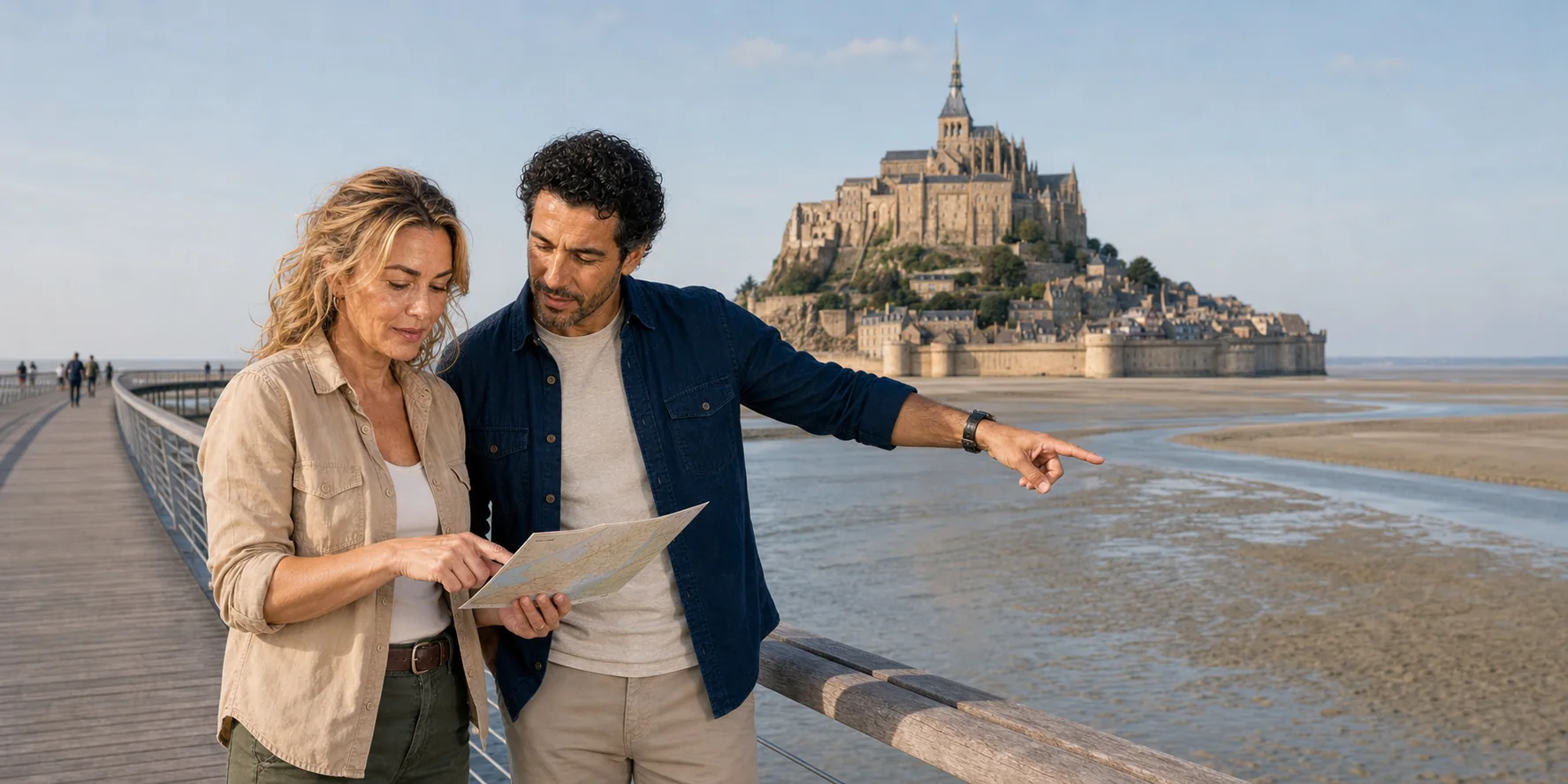
Bridge and tidal flats · ExcursionPass original generated visual
A monument read in section
Mont-Saint-Michel appears complete from a distance. Up close, it is an accumulation: granite below, village and fortification around the slope, crypts supporting a summit church, Gothic rooms stacked down the north face, and a restored spire sharpening centuries of repair into one image.
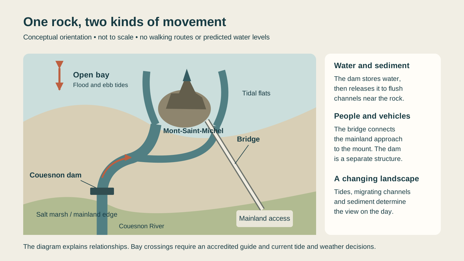
The bay is equally layered. Tides, the Couesnon, migrating channels and sediment interact with dykes, polders, a former causeway, a modern dam and the current bridge. Engineering manages the maritime relationship around the rock; it cannot freeze a naturally infilling estuary.
This desk keeps enduring explanation separate from the operating day. Abbey access, shuttle service, tide predictions, weather, assisted visits, regional transport and licensed bay crossings require current confirmation.
Field story
The complete route joins the bay system, foundation tradition, Benedictine life, Merveille, fortification, prison, restoration and the practical cost of reaching the summit.
Story 19 · Tidal landscape
The mount in systems
A granitic outcrop sits inside a megatidal, sediment-rich bay where apparently empty ground can change quickly.
Crypts level the summit; the church and Merveille stack worship, hospitality, work and storage against gravity.
Gates, ramparts, homes, shops, parish life and services occupy one compressed route below the monastery.
War, fire, prison use, restoration and conservation belong to the monument’s history rather than sitting outside it.
Managed river releases and open access structures help water move near the rock without ending natural sedimentation.
Plan with current facts
Use monument and tourist-office sources for the operating day. Never reproduce a bay crossing from an article or map; use an accredited guide.
Read the complete field guide