Story 33 · Infrastructure field guide
Destination desk · Nevada–Arizona Colorado River corridor
An operating water-and-power system where concrete, labour, river law, changing reservoir levels and responsible desert access belong in the same view.
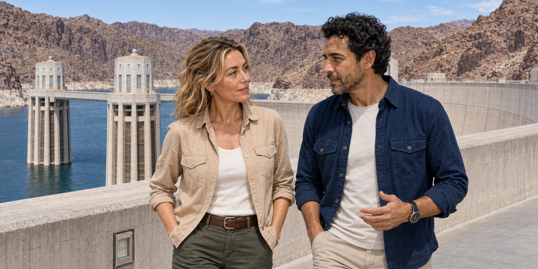
Hoover Dam and Lake Mead · AI-generated editorial illustration
The system behind the landmark
Hoover Dam is both a monumental public place and working critical infrastructure. Its curved concrete body carries water load through weight and arch action; its intake towers and penstocks move reservoir water toward turbines; its visitor routes remain conditional on security, operations and current federal inventory.
Lake Mead extends the story upstream. The reservoir stores and redistributes a governed river, changes shoreline access as its level moves, traps sediment, supports invasive species and covers older cultural landscapes. Seven states, Tribal Nations, Mexico and federal institutions meet here through different rights and rules, not one simple allocation chart.
Callville Wash adds another scale. A signed unpaved road can cross a drainage without turning that drainage into a legal driving surface. Heat, flash flood, recovery equipment, route authorization and the willingness to turn around matter more than an “off-road” label.
Infrastructure field story
One original podcast becomes an evidence-led route through construction, labour, power, river governance, reservoir change and a guided Callville Wash vehicle day.
Story 33 · Infrastructure field guide
What this desk follows
How diversion, block placement, cooling coils, dangerous Depression-era work, arch action and turbines turn a canyon crossing into operating infrastructure.
How reservoir elevation, shortage rules, Tribal rights, treaty relationships, sediment and ecology keep a celebrated dam inside an unfinished basin story.
How signed routes, drainage behavior, heat, flood, communication and recovery limits define a responsible Callville Wash day.
Check the operating landscape
Select an interior route with Reclamation’s visitor information, follow its account of Colorado River operations, and use National Park Service maps for lawful backcountry travel. The story connects those decisions to engineering, labour, water rights and the desert landscape.