Story 19 · River field guide
Destination desk · Arizona–Nevada river corridor
A cold managed reach of the Colorado River where volcanic walls, desert springs, dam history and paddler decisions matter more than one green reflection.
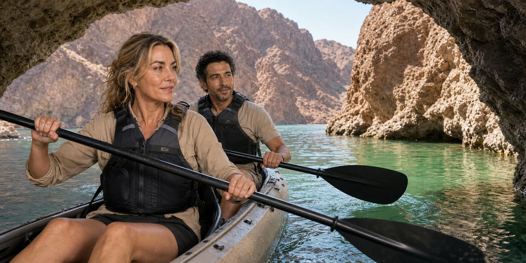
Emerald Cave approach · Original ExcursionPass generated visual
The river behind the cave
The first desk begins at Willow Beach, Arizona, because that developed launch is the threshold into the real four-mile Emerald Cave return.
The reporting looks upstream to Hoover Dam and Lake Mead, then backward beyond them: to a much longer Indigenous human continuum, construction labor, regulated cold water and the basin institutions that decide how the Colorado moves.
At kayak height, fractured volcanic walls and small springs become habitat rather than scenery. The famous green alcove remains worthwhile precisely because it is kept in proportion.
River field story
One original podcast becomes an evidence-led route through the launch, canyon geology, Hoover history, cold-water safety, conditional cave light and return decisions.
Story 19 · River field guide
What this desk follows
How Hoover releases, Lake Mohave levels, wind, wakes and motor rules shape a reach that can look calmer than it is.
How volcanic materials, fractures and mixed groundwater create small wet refuges inside an arid canyon.
How PFDs, heat and immersion planning, crowd sharing, wildlife distance and clean–drain–dry practice keep the route honest.
Check the live river
Use current park information for launch, weather and rules. Use Reclamation data for operational context, not a consumer forecast. Choose a guided experience when instruction and rescue planning materially reduce uncertainty.
Explore Black Canyon experiences