Story 55 · Greater Boston
Destination desk 10 · New England
Two founding landscapes without one founding myth: Wampanoag homeland and Atlantic memory at Plymouth, then alarm, return fire and retreat along the road to Concord.
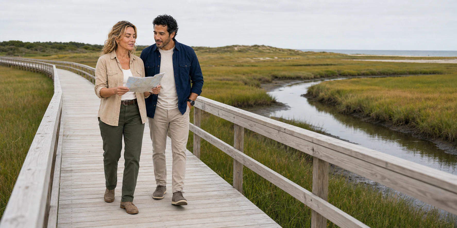
Sandwich salt-marsh interpretation · ExcursionPass original generated visual · not documentary evidence
Two chronologies, one discipline
Plymouth and Lexington are often compressed into one national beginning. The first desk route separates them: Patuxet, Wampanoag diplomacy and English colonisation belong to the Atlantic world of 1620; Lexington and Concord belong to the inland mobilisation and armed confrontation of 1775.
The coast story moves from homeland and epidemic disruption to Mayflower II, Plymouth Rock, the National Day of Mourning, Sandwich industry, canal engineering and a shoreline still changing. The revolutionary-road story follows the alarm west, crosses North Bridge and turns east with the British retreat.
Both routes require the same discipline: distinguish evidence from reconstruction, commemoration from event, and current access from an inherited itinerary. Plan from live official pages, then use the reporting here to choose which layers deserve time.
The Greater Boston stories
Two longform routes keep 1620 and 1775 distinct while asking how later generations made each chronology public.
Story 55 · Greater Boston

Story 14 · Greater Boston
Ways into Greater Boston
Patuxet and the Atlantic coast begin with Wampanoag geography, diplomacy, survival and living nations—not an English year zero.
Harbors, roads, bridges, marshes, houses and working infrastructure used to test what accounts and monuments claim.
Rock, ship, prints, statues, archaeology, museums and protest compared without mistaking later commemoration for the event.
Plan from current sources
Museum campuses, historic ships, waterfronts, park units, house museums and transport follow separate calendars. Check each live source before building the route.
Start with the Atlantic coast story