Field feature · Algarve & Faro
Destination desk · Southern Portugal
A lagoon gateway and a retreating limestone coast where trail geometry, maritime rules, beach decisions and conservation change how Benagil is read.
ExcursionPass original generated editorial interpretation · not documentary evidence
Faro is the gateway, not the trailhead
Faro faces the Ria Formosa and carries the region’s airport and rail connections. Benagil, Praia da Marinha and the Seven Hanging Valleys lie west on Lagoa’s cliff coast.
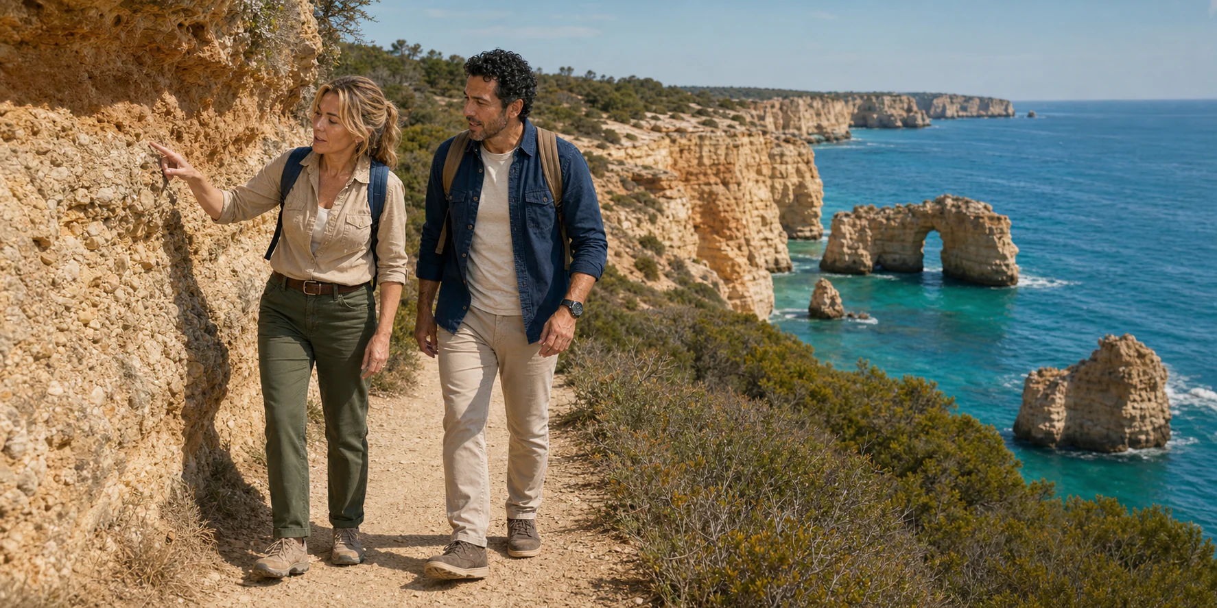
The cave opening, hanging ravines, arches, stacks and pocket beaches are different expressions of layered Miocene rock, water, exposure and gravity.
A complete day joins transport, route direction, cliff conditions, regulated sea access, bathing decisions and the traveller’s own movement needs.
Gateway, trail and waterline
Follow the cliff coast from Marinha and Benagil through Carvalho’s sheltered valley and Alfanzina’s lighthouse history, then connect Algar Seco, the protected sea and a format suited to your movement.
Field feature · Algarve & Faro
What this desk follows
Read Miocene shelf deposits, joints, dissolution, wave notches, caves, arches, stacks and hanging valleys without forcing one tidy sequence.
Separate Faro logistics, the formal 5.7-kilometre linear path, selected walking segments and the western Algar Seco stop.
Join bathing-water checks, lifeguard flags, cliff-fall bands and regulated Benagil navigation without treating one gate as the whole answer.
Connect curb, vehicle, trail surface, viewpoint, stairs, boarding, toilets and return into one honest movement chain.
Check the authority closest to the fact
The feature contains the explanation. Lagoa remains closest to the trail; APA to cliff and bathing-water information; the Portimão Harbour Master to Benagil navigation; ICNF to the marine protected area.
Read the full field guide