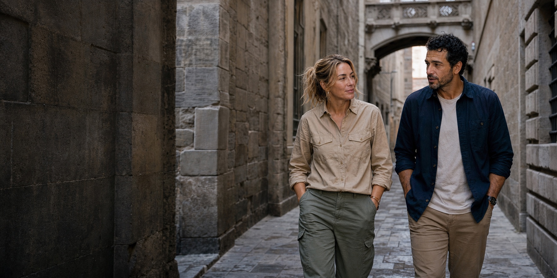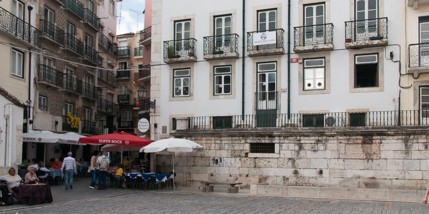
Lisbon · African histories
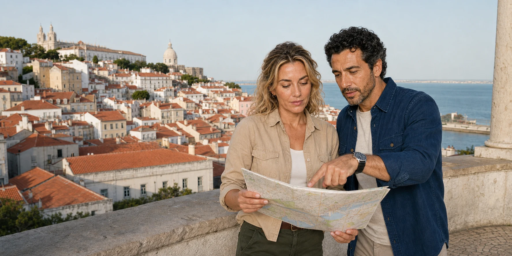
Destination desk · Hills, water and public memory
A city read through slope, estuary, archaeology, African presence and contested memory, with the work of everyday life inside the frame.
Portas do Sol · Original ExcursionPass generated visual
The ground beneath the route
The lower streets, cathedral, Alfama viewpoints and São Jorge Castle occupy related ground, but their histories overlap. Iron Age and Roman evidence, Islamic homes, the 1147 siege, royal use, earthquake damage and twentieth-century restoration do not line up neatly with altitude.
The Tagus explains why the hill mattered. Walls, water, trade, surveillance and access connected the summit to a wider estuary. Portas do Sol makes that system visible: roofs and church towers descend toward the river while tram rails and crowded pavements reveal the constraints of the living city.
This desk keeps the historical explanation inside the story and separates it from practical facts that can change. Official institutions remain the closest source for opening, worship, transport and accessibility information.
The lower city brings African work and organised claims for freedom into the same urban system. Water carriers, royal administration, markets and Black confraternities connect ordinary necessities to Atlantic power; modern community projects ask how those histories enter public memory.
Archaeology, African presence and public memory
Follow the castle and Alfama through settlement and reconstruction, or the lower city through water, slavery, association and arguments for freedom. Each story gives its own route and evidence.
Lisbon · African histories
Story 37 · Lisbon
What this desk follows
Connect Iron Age exchange, Roman Olisipo and Islamic Lisbon to water, routes, walls and the Tagus.
Read conquest and Atlantic institutions through specific evidence, alongside Black associations and people who contested human ownership.
Separate surviving buildings from repair and state restoration, then compare monumental selection with community-led African histories.
Plan around calçada, slope, tram infrastructure, housing, conduct and the full chain to and from the monument.
Check the institutions
The stories provide the enduring explanation. Heritage institutions, archives, community organisations and transport operators support further research and current planning.
Read African Lisbon