Field feature · Cozumel
Destination desk · Quintana Roo
One inhabited Maya island where a working port, rain-fed groundwater, mangroves, reefs and a high-volume visitor economy share the same limits.
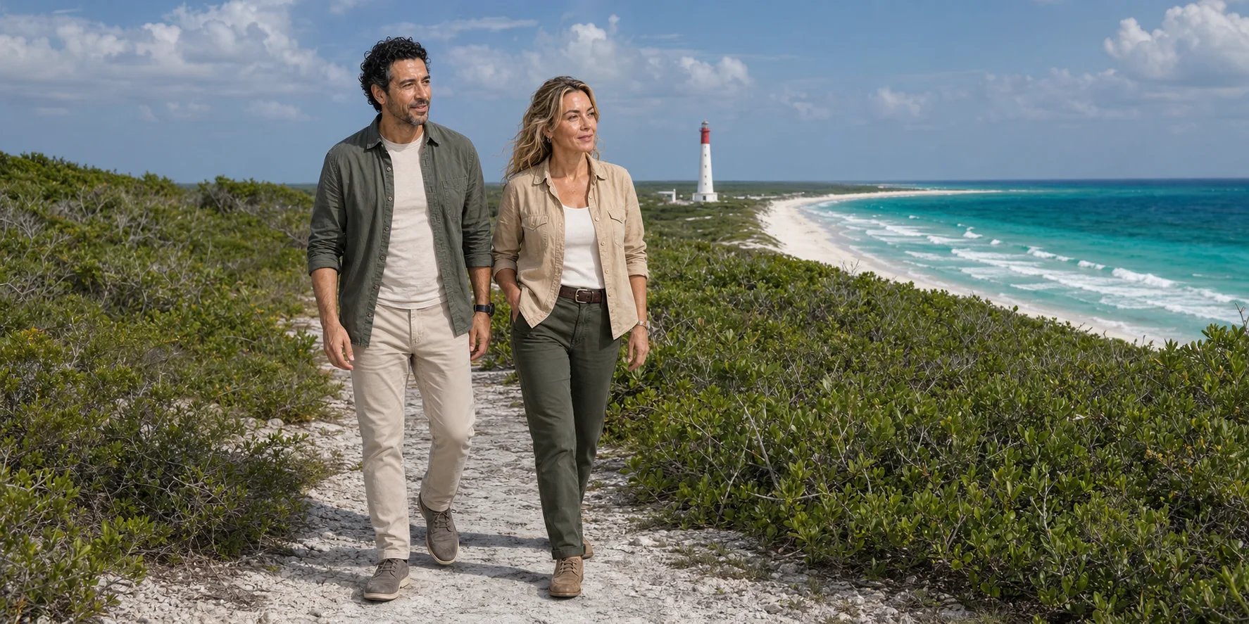
ExcursionPass editorial image · generated from approved presenters and public-domain Punta Sur reference
An island before it is an itinerary
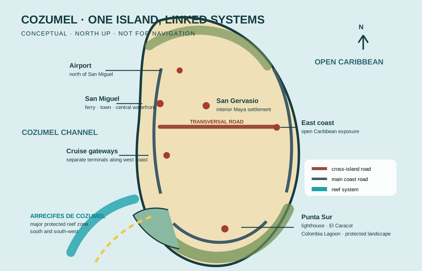
San Miguel, San Gervasio, the east road, Punta Sur and the reef are not interchangeable stops. They belong to different histories, authorities and environmental settings.
Maya Cozumel was a network of communities and sea routes. Living Maya identity continues; archaeological evidence, community authority and staged visitor performance must not be collapsed into one timeless story.
Rain moves through porous limestone rather than a large surface river. Decisions about wastewater, roads, mangroves and visitor volume therefore reach beyond the point where they are made.
Island, reef and tourism
Follow settlement, invasion, migration, gateways, groundwater, lagoon, reef governance, cultural representation and practical margins in one evidence-led feature.
Field feature · Cozumel
What this desk follows
Separate documented settlement and maritime exchange from unsupported pilgrimage certainty while keeping living Maya continuity visible.
Read ferry, cruise terminals, roads and visitor pulses as infrastructure that shapes time, labour and space.
Connect rain, karst groundwater, wastewater, mangroves, lagoon, seagrass and reef without pretending every condition is current or uniform.
Match archaeology, protected areas, marine rules, access and safety to the institution closest to each fact, then plan generous return time.
Check the authority closest to the fact
The feature contains the history and systems account. INAH remains closest to archaeological access, CONANP to the marine park, and municipal channels to current island planning.
Read the complete field guide