Story 24 · Quintana Roo
Destination desk 21 · Caribbean Mexico
A coast-to-lakes desk where Tulum’s walled core, Cobá’s raised roads, a connected aquifer and living Maya communities revise the generic idea of a jungle adventure.
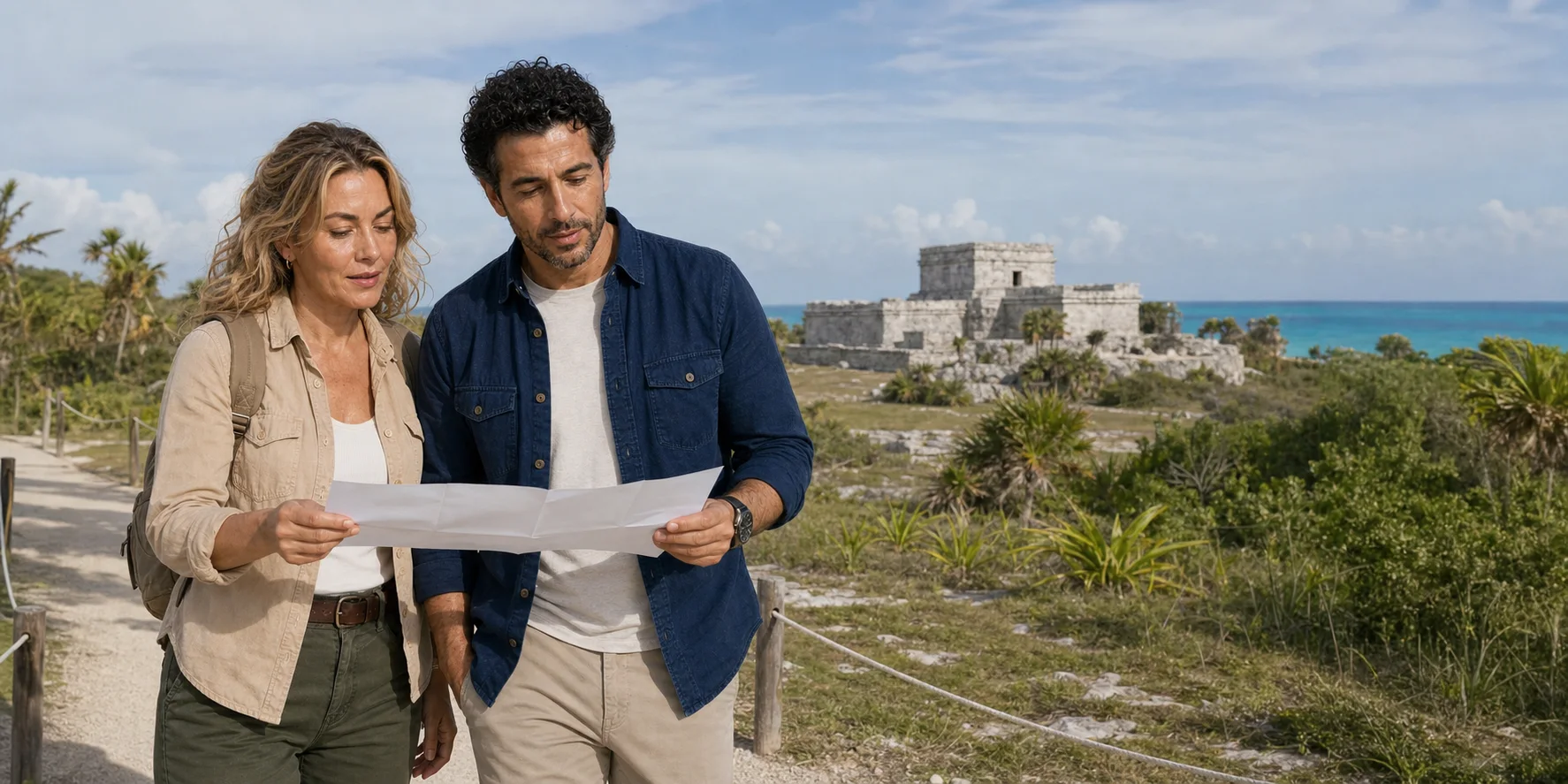
Tulum · Original ExcursionPass generated editorial visual
The peninsula below the itinerary
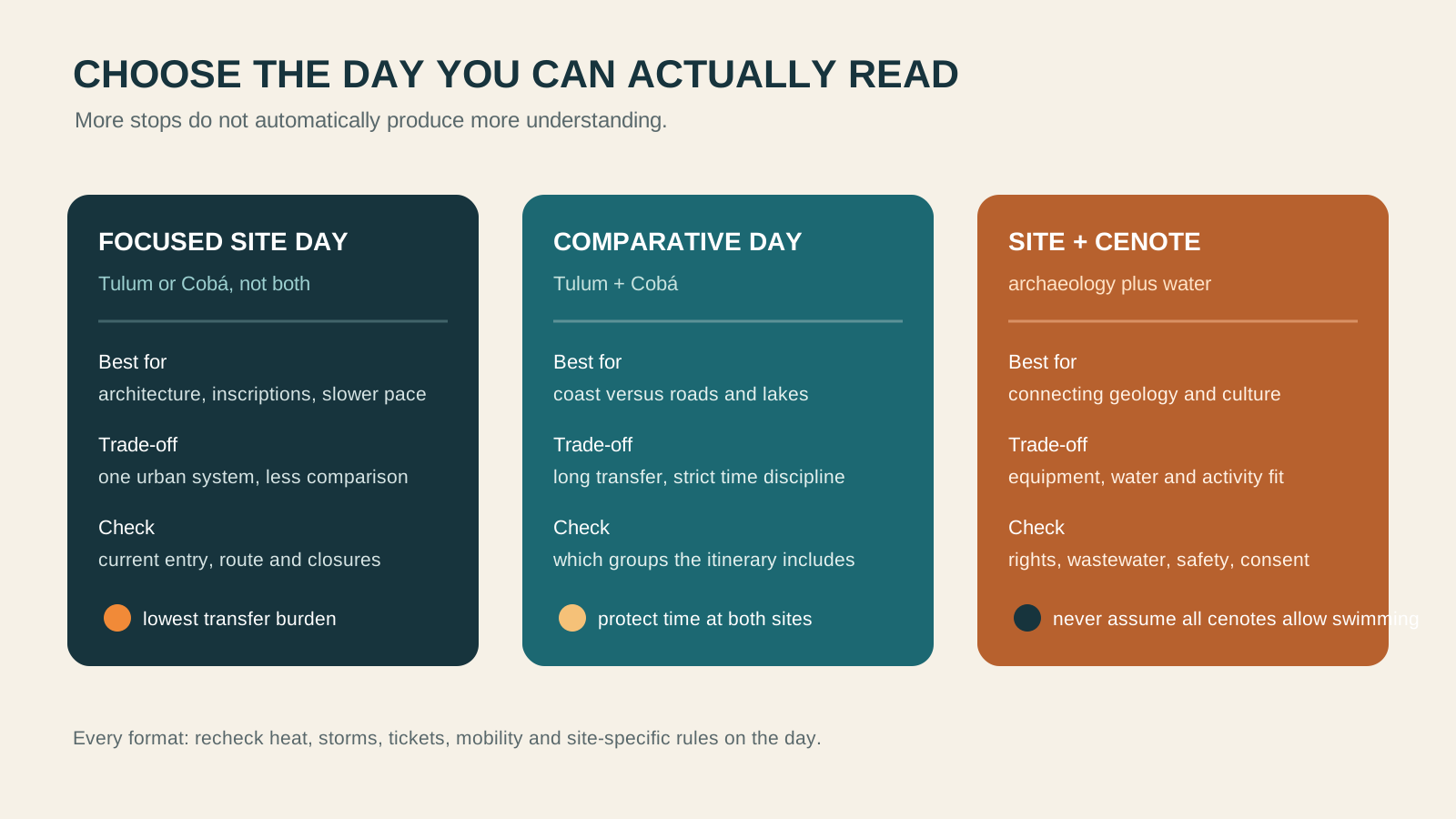
Tulum and Cobá are close enough for one long transfer day and different enough to punish a rushed comparison. Tulum’s surviving monumental core faces the Caribbean behind landward walls; Cobá spreads inland beside lakes along a network of raised white roads.
The apparent flatness beneath them is a porous carbonate platform. Rain enters fractured limestone, caves and cenotes expose parts of a moving aquifer, and coastal fresh water meets saline water. A swim stop is therefore part of the regional story, not an ecological intermission.
Living Maya communities are not evidence that the ancient city survived unchanged. Community ownership, consent, language, ceremony, photography and benefit require present-tense questions. Current official rules remain decisive for every archaeological group, activity and water entry.
The Quintana Roo story
A complete comparison through chronology, architecture, political power, water, living community, conservation and the decisions hidden inside a combined day.
Story 24 · Quintana Roo
Ways into the region
Tulum read through controlled approaches, Postclassic chronology, temples, painting, landing places and a wider maritime network.
Cobá read as a dispersed city where sacbeob joined groups, labour, movement, monuments and long-distance political power.
Cenotes, fresh-saline interaction, wastewater, clarity limits and visitor pressure translated into practical provider questions.
Plan from current sources
Recheck last admission, fees, Nohoch Mul access, weather, temporary conservation closures, transport and the named cenote or community before departure.
Read the complete comparison