Field feature · Badagry
Destination desk · Lagos State
A lagoon town where old settlement, Atlantic trafficking, family memory, mission history, colonial power and present-day work share one changing coast.
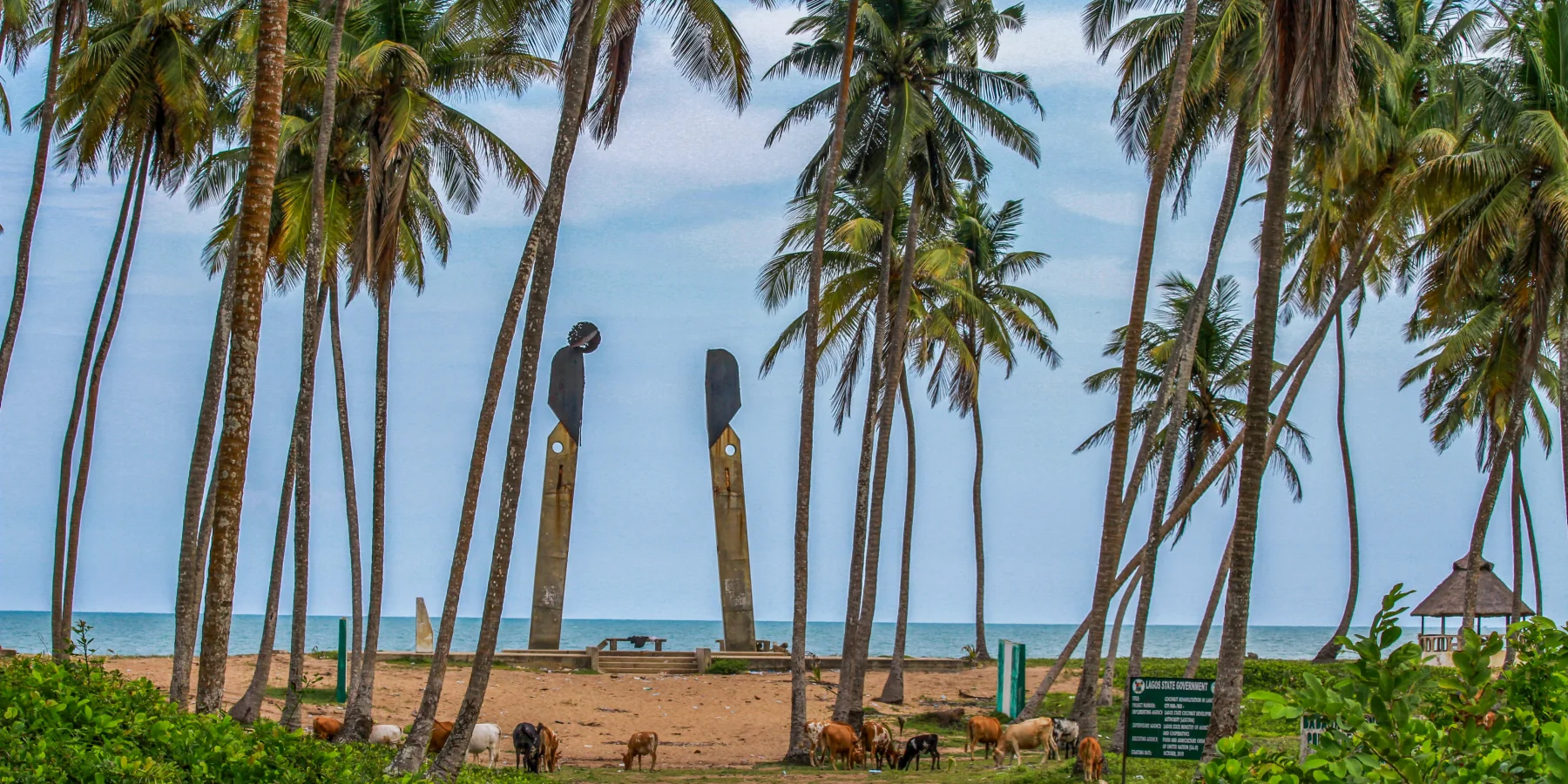
Gberefu memorial (photographed 2012) · Louis Gabriel Whenayon · CC BY-SA 4.0 · cropped derivative by ExcursionPass
A town before it was a memorial route
Badagry sits where creek, lagoon, river, swamp, sand barrier and Atlantic meet. Archaeology at Apa and Ahanve records settlement, pottery, palms, fishing and salt making long before the heritage circuit begins.
The nineteenth-century town was rebuilt by refugees, migrants, merchants and local lineages. Its port belonged to regional politics linking Lagos, Porto-Novo, Oyo, Dahomey and Abeokuta as well as European and Brazilian Atlantic systems.
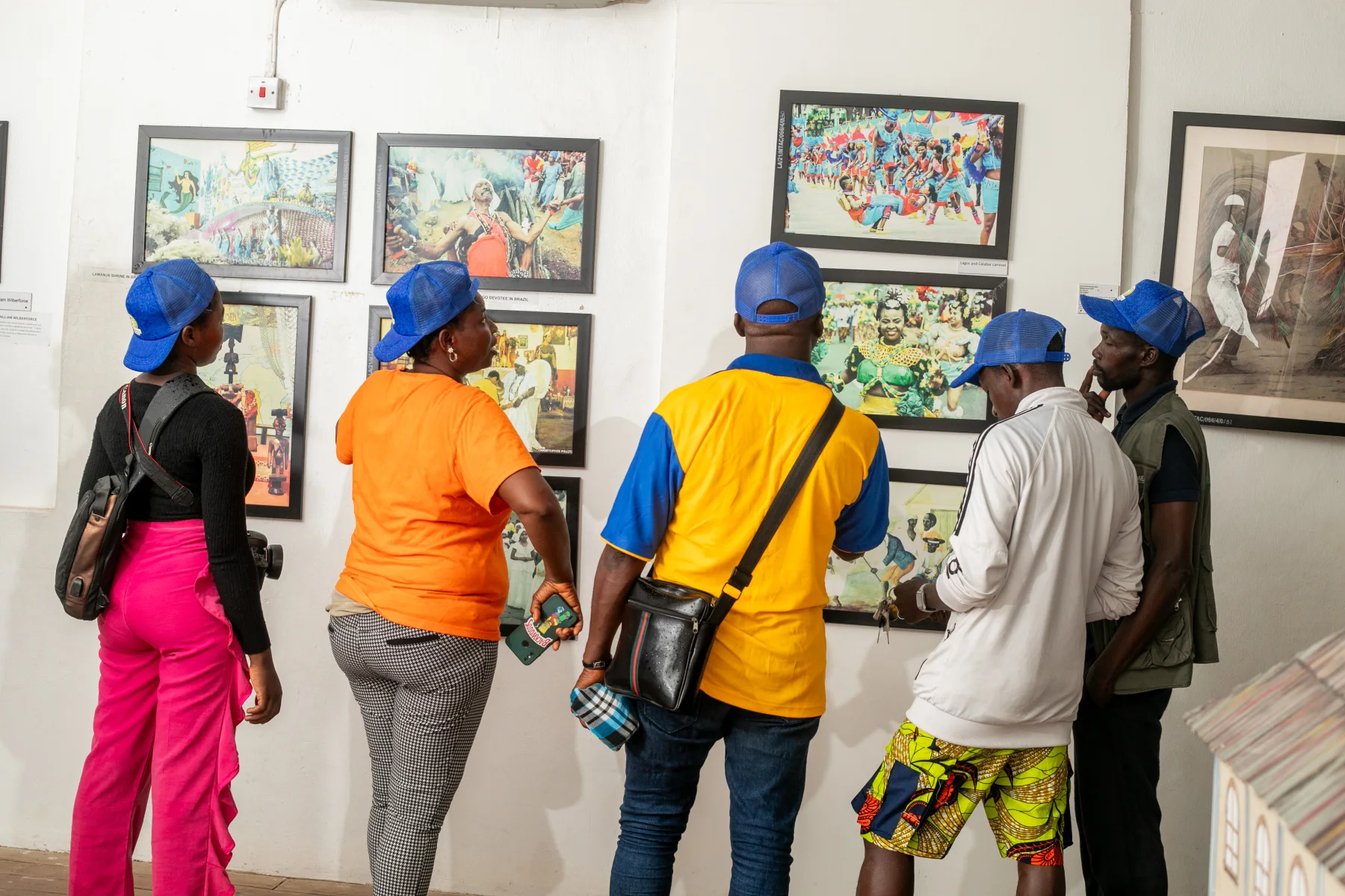
Today's public museum, family compounds, Vlekete memorial, mission house and Gberefu route do not offer one identical archive. This desk treats their differences as part of the history and keeps living work and coastal change visible.
Lagoon, town and coast
Follow archaeology, refuge, commerce, museums, contested objects, abolition, annexation, translation, fishing and practical decisions without prescribing a response.
Field feature · Badagry
What this desk follows
Read lagoon, creek, river, swamp, fish, salt, palms and pottery before treating the coast as a commercial route.
Follow capture, inland movement, markets, compounds, lagoon transfer and offshore shipping without inventing one universal path.
Distinguish objects, archives, oral history, family stewardship, state museum labels and modern monuments.
Keep fishing, local labour, tourism income, water safety, access and climate exposure inside the destination account.
Check the source closest to the decision
The feature contains the explanation. Archaeologists and historians provide chronology; custodians interpret local sites; NIWA and current authorities remain closest to transport and access.
Read the complete field guide