Story 08 · Atherton Tablelands
Destination desk 06 · Far North Queensland
Rainforest, crater lakes and old volcanic ground read through the authority of living Yidinji Country—not as scenery waiting to be consumed.
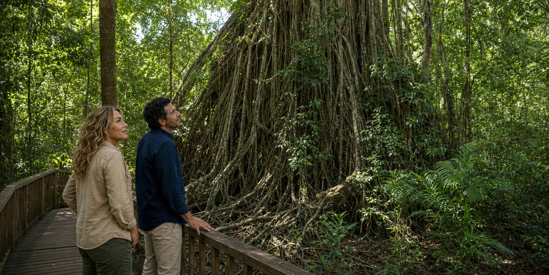
Cathedral Fig Tree · ExcursionPass original generated visual
The highlands beyond the scenic loop
The Atherton Tablelands rise west of Cairns in a mosaic of Wet Tropics rainforest, agricultural land, towns and volcanic basins. The visitor-region name crosses the Countries of multiple First Nations peoples; it should never be mistaken for one cultural boundary.
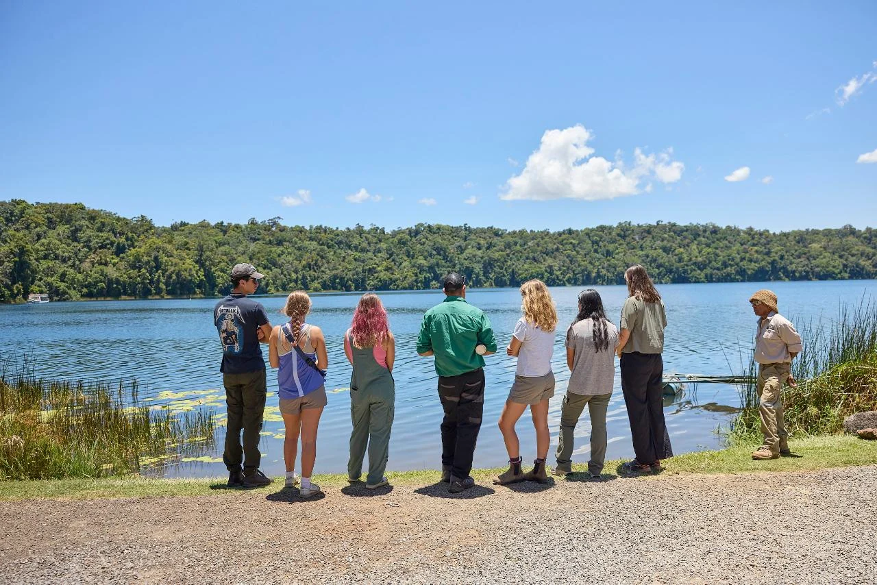
This desk begins with the Yidinji Explorer short route: Cathedral Fig Tree in the Danbulla landscape and Lake Barrine in Crater Lakes National Park. It keeps those stops distinct from the longer podcast sequence through Hasties Swamp, Watsonville and Mbabaram Country.
Use current park alerts and ask the operator directly about route, mobility and photography protocol. Use the reported story to understand why guide authority, boardwalk behaviour and precise names are part of the journey rather than etiquette added at the end.
The Atherton Tablelands story
A self-contained longform route through Country, ecology, dispossession, continuity, geology, material knowledge and visitor protocol.
Story 08 · Atherton Tablelands
Ways into the Tablelands
Yidinji, Tableland Yidinji, Dulgubarra-Yidinji, Bundaburra-Yidinji and Mbabaram relationships kept specific rather than flattened.
Strangler-fig succession, endemic kauris, maar formation and lake sediment understood as living systems and archives.
Stay on infrastructure, ask before recording and accept that cultural authority includes the right not to disclose.
Plan from current sources
Check park alerts near departure and ask the operator directly about mobility, pickup and photography protocol.
Read the complete field story