Story 46 · Moab, Arches & Canyonlands
Colorado Plateau destination desk
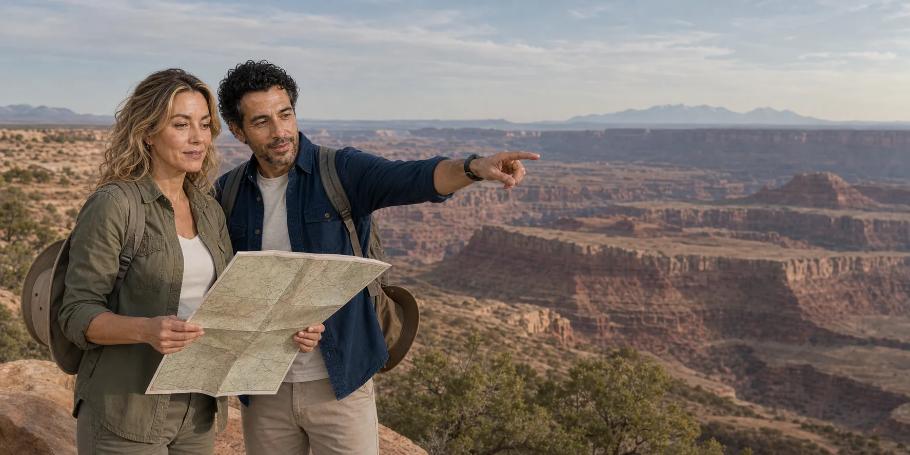
Two neighboring parks ask for different reading distances: sandstone fins and openings at Arches; mesa, bench, canyons and rivers at Island in the Sky.
AI-generated editorial illustration · ExcursionPass
One base, two landscape scales
Moab is the practical hinge between Arches National Park and Canyonlands’ Island in the Sky district. The town supplies the room, food, water, fuel and recovery time that the parks do not.
At Arches, buried salt, fractures and unequal erosion become fins, openings and temporary spans. At Canyonlands, uplift and river incision become a much larger stair of mesa rim, White Rim bench and tributary canyons.
These are also living cultural landscapes and managed public lands. A useful route keeps Indigenous continuity, community pressure, conservation, current park rules, heat, cliffs and accessibility inside the same account.
The complete field guide
The feature follows geology, route sequence, living landscape, Moab systems, supplies, hazards, accessibility and format choice.
Story 46 · Moab, Arches & Canyonlands
What this desk follows
Move from salt, joints, fins and openings to uplift, benches, river incision and canyon depth.
Keep continuing Indigenous relationships and cultural meaning visible without exposing sensitive places.
Connect lodging, labour, housing, traffic, water, waste and visitor responsibility to the park route.
Match the transfer, vehicle, surfaces, heat, toilets, room and assistance to the actual traveller.
Check the institution closest to the fact
The story is self-contained. Official park pages remain closest to alerts, entrance operations, trails and accessibility near the travel date.
Read the full field guide