Story 52 · Magnetic Island
Destination desk 29 · Yunbenun
A reef gateway read through living Wulgurukaba Sea Country, changing conditions, activity-specific competence, coral evidence and the full journey back to shore.
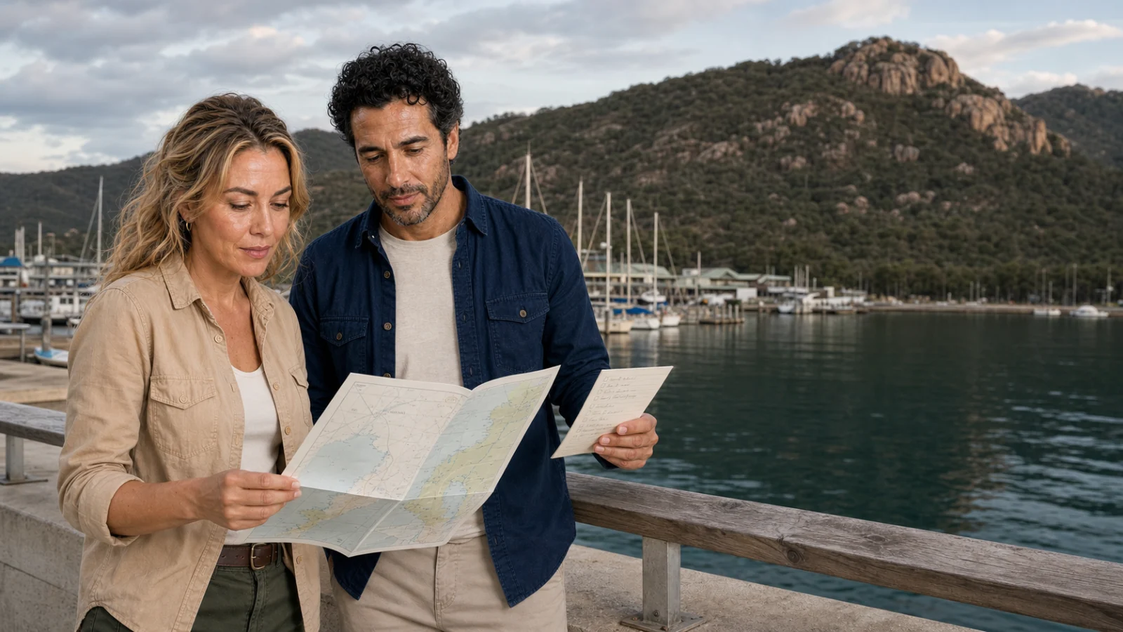
Magnetic Island marina · ExcursionPass original generated editorial visual
Before anyone enters the water
Yunbenun, widely known as Magnetic Island, sits within continuing Wulgurukaba Country and Sea Country. The marina is not a blank launch point: the journey crosses a living cultural and governed marine landscape.
Wind, swell, tide, current, visibility, zoning, moorings, passenger competence and skipper judgement determine which site is workable. Snorkelling and certified diving may share a vessel, but they require different medical questions, supervision, equipment and exit plans.
The field guide explains coral biology and bleaching without treating one visitor impression as a reef diagnosis. It connects a day on the water to dated AIMS monitoring, Reef Authority guidance and the practical questions that should be answered before departure.
The Magnetic Island story
One self-contained route through Sea Country, reef scale, coral condition, site choice, competence, access, responsible practice and evidence limits.
Story 52 · Magnetic Island
Ways into the reef day
Wulgurukaba continuity, Marine Park zoning, permissions and moorings establish that the route crosses a living, governed place.
Site choice, snorkelling, certified diving, medical fitness, stinger protection, mobility and the exit are matched to the actual person and day.
Coral colour, bleaching and visitor impressions are kept separate from repeated, dated monitoring at reef, regional and system scales.
Plan from current sources
Use the field guide for the complete decision sequence, then confirm marine forecasts, notices, public transport and activity-specific requirements with the responsible authority.
Read the reef field guide