Story 49 · Livingstone & Victoria Falls
Destination desk · Southern Province
Read Mosi-oa-Tunya from the Zambia side as a measured river, an evolving basalt gorge, a spray-fed habitat and a transboundary landscape with distinct practical thresholds.
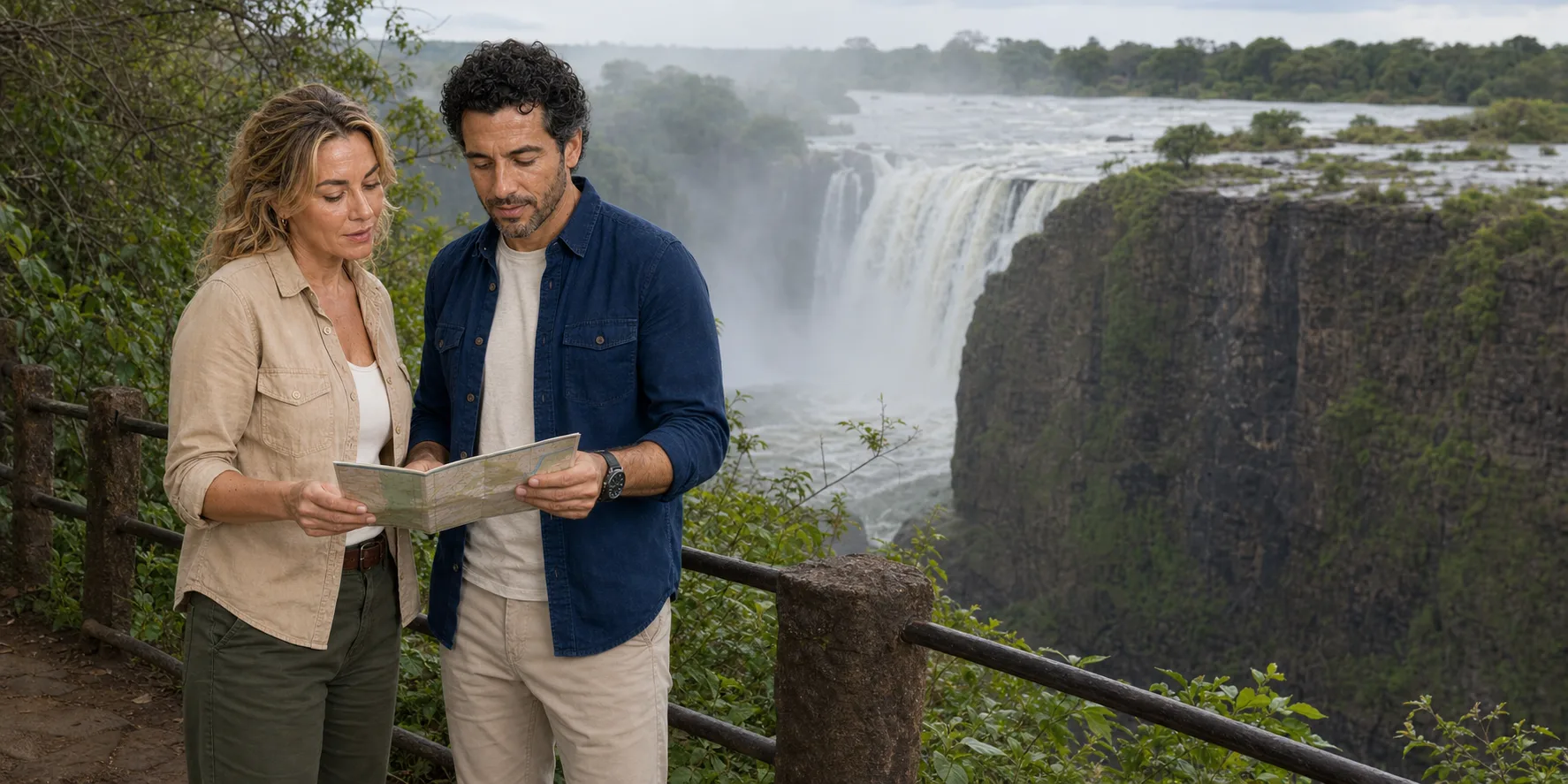
ExcursionPass original generated editorial visual · not documentary evidence of current conditions
River first, bank second
The broad upper Zambezi reaches the Batoka basalt edge, drops into the First Gorge and turns through a sequence of older zigzag gorges. A dated flow trend explains more than a generic season label.
The Zambia-side public path moves through upper-river, spray-zone and close Eastern Cataract relationships. The Knife-edge Bridge, Boiling Pot descent, international bridge and seasonal river-edge activities remain separate choices.
Livingstone adds museum, railway and city context. A Zimbabwe extension adds another sovereign park and immigration system. Neither is required for the Zambia-side day to be complete.
River, rock and practical access
The feature follows Zambezi flow, the public route, geology, cultural chronology, conservation and practical decisions as one connected landscape.
Story 49 · Livingstone & Victoria Falls
Four working lenses
Use the Zambezi gauge to interpret rising water, recession, spray and exposed basalt without promising a view.
Read Batoka basalt, gorge migration and the fragile forest maintained by the spray plume.
Keep Mosi-oa-Tunya, African knowledge, colonial infrastructure and joint conservation in one chronology.
Separate park, bridge, border, operator and mobility dependencies before building the day.
Check the institution closest to the fact
The story holds the reporting. Official river, heritage and immigration sources remain closest to mutable operating facts.
Read the full field guide